Afghan Music – Traditional Folk Songs, Ballads and Dances

Music of Afghanistan

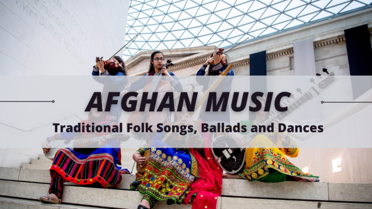
Music is represented chiefly by traditional folk songs, ballads, and dances. Among the stringed instruments, the six-stringed rohab is thought to be the ancestor to the Western violin and cello. Other instruments include the santur (a kind of zither), a hand-pumped harmonium, the chang (a plucked mouth harp), and a variety of drums beaten with the palm and fingers. The attan dance … Read more

Land and Resources – Afghanistan’s Shape

Afghanistan's Shape

Afghanistan is shaped roughly like a clenched fist with the thumb extended out to the northeast. Afghanistan covers an area of about 652,090 sq km (about 251,773 sq mi). Its maximum length from east to west is about 1240 km (about 770 mi); from north to south it is about 1015 km (about 630 mi). … Read more

Afghanistan Mountains – The Tallest Points of Afghanistan

mountains

Mountains dominate the landscape, traversing the center of the country, running generally in a northeast-southwest direction. More than 49 percent of the total land area lies above 2,000 meters. Although geographers differ on the division of these mountains into systems, they agree that the Hindukush system, the most important, is the westernmost extension of the … Read more

Afghanistan Ethnicity and Languages – Different Ethnic Groups

The population of Afghanistan includes many different ethnic groups. The Pashtuns (Pushtuns), who make up more than half the population, have traditionally been the dominant ethnic group. Their homeland lies south of the Hindu Kush, but Pashtun groups live in all parts of the country. Many Pashtuns also live in northwestern Pakistan, where they are … Read more

Education in Afghanistan – School System

school system in afghanistan

Two separate systems of education exist in Afghanistan. The older system is a religious one, taught by the mullahs, who conduct schools in the village mosques. They teach the religious precepts of the Koran, reading, writing, and arithmetic. The other system was introduced in Afghanistan’s 1964 constitution and provided for free and compulsory education at … Read more

Transportation of Afghanistan – Travel within Afghanistan

Travel within Afghanistan

Travel within Afghanistan is severely limited by the rugged terrain. The country has less than 25 km (less than 16 mi) of railroad track, all of which is for shipping goods to and from Afghanistan and Turkmenistan and Uzbekistan. Petroleum products are piped in from Uzbekistan to Bagram and from Turkmenistan to Shindand. Natural gas … Read more

Rivers and Lakes – Water of Afghanistan

Water of Afghanistan

Many of Afghanistan’s major rivers are fed by mountain streams. The Amu Darya on the northern frontier has a number of significant tributaries that rise in the eastern Hindu Kush. It is the only navigable river in Afghanistan, though ferry boats can cross the deeper areas of other rivers. The Harirud River rises in central … Read more

Afghanistan Foreign Trade – Exports and Imports

import and export of Afghanistan

Afghanistan’s chief exports are Gold, natural gas and dried fruit. Other exports include carpets, fresh fruit, wool, and cotton. Afghanistan imports food, motor vehicles, petroleum products, and textiles. Most of the foreign trade of Afghanistan is controlled by the government or by government-controlled monopolies. The USSR was Afghanistan’s chief trading partner even before the 1979 … Read more

Afghanistan Social Problems – Social Ills

Social problem in Afghanistan

Civil war has brought a variety of social ills in Afghanistan, such as poverty, interethnic strife, inequality of women, and widespread thievery, kidnapping, and banditry. Blood feuds handed down through generations are legendary, and revenge is regarded as a necessary redress of wrongs. The civil war has strengthened these tendencies. The ongoing civil war continued to kill, … Read more

Agriculture of Afghanistan – Livestock and Crops

Only a very small share of Afghanistan’s land (about 15 percent), mostly in scattered valleys, is suitable for farming; about 6 percent of the land is actually cultivated. At least two-thirds of this farmland requires irrigation. Water is drawn from springs and rivers and is distributed through surface ditches and through underground channels, or tunnels, … Read more