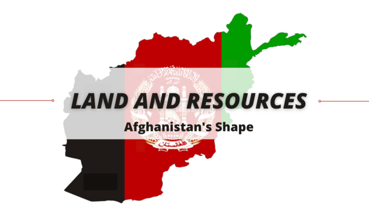
Afghanistan is shaped roughly like a clenched fist with the thumb extended out to the northeast. Afghanistan covers an area of about 652,090 sq km (about 251,773 sq mi). Its maximum length from east to west is about 1240 km (about 770 mi); from north to south it is about 1015 km (about 630 mi).
The northwestern, western, and southern border areas are primarily desert plains and rocky ranges, whereas the southeast and northeast borders rise progressively higher into the major, glacier-covered peaks of the Hindu Kush, an extension of the western Himalayas. Only the northern border is formed by a river, the Amu Darya.